

About VPM
The Background of VPM / History
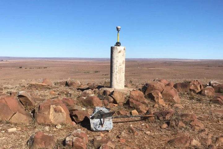
The roots of our practice van Waart Pawson & Maree go back more than a century to Percival Arthur Harding Melville, who established a land surveying practice in Oudtshoorn in 1909. His son, Percival Stewart Melville, later joined him, and after World War II the practice grew rapidly to meet rising demand across the Southern Cape.
Through the decades, new partners strengthened the firm, with names evolving from Melville & Barry (1947) to Melville, Barry & van Waart (1959). In 1974, following the retirement of P.S. Melville, the practice adopted its enduring name: Van Waart, Pawson & Maree and then to VPM Surveys (Southern Cape) and VPM Opmetings (Oudshoorn) (however these two practices have no links).
From its early beginnings in Knysna VPM Surveys has built a proud legacy of professionalism, innovation, and service — values that continue to guide us today.
Today
VPM has evolved into a modern, multi-disciplinary practice that combines decades of experience with the latest technology. We have Offices in Knysna and George as well as a presence in Cape Town (Sea Point). We offer overseas services and have done work in Africa (Angola) and The Bahamas. Our services extend beyond traditional land surveying to include:
- 3D Scanning & 3D Modelling – delivering precise digital representations for heritage sites, buildings, and infrastructure projects.
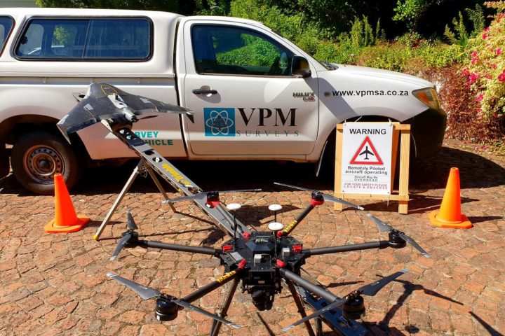
- Aerial Surveys & Mapping – using drone technology for accurate, cost-effective data collection over large areas.
- Geographic Information Systems (GIS) – providing powerful tools for spatial analysis, land management, and decision-making.
- Cadastral & Sectional Title Surveys – ensuring accuracy in property boundaries, subdivisions, and sectional title schemes for legal registration.
- Engineering Surveys – supporting infrastructure, construction, and development projects with precise measurement and monitoring.
By integrating these disciplines, VPM delivers innovative solutions that save time, reduce risk, and ensure projects are completed with accuracy, efficiency, and sustainability in mind.
